Arming rotors00

Drag the terrain · hover to survey

AERialKineticIntelligence

Environmental aerial intelligence · heterogeneous drone swarms

Scroll
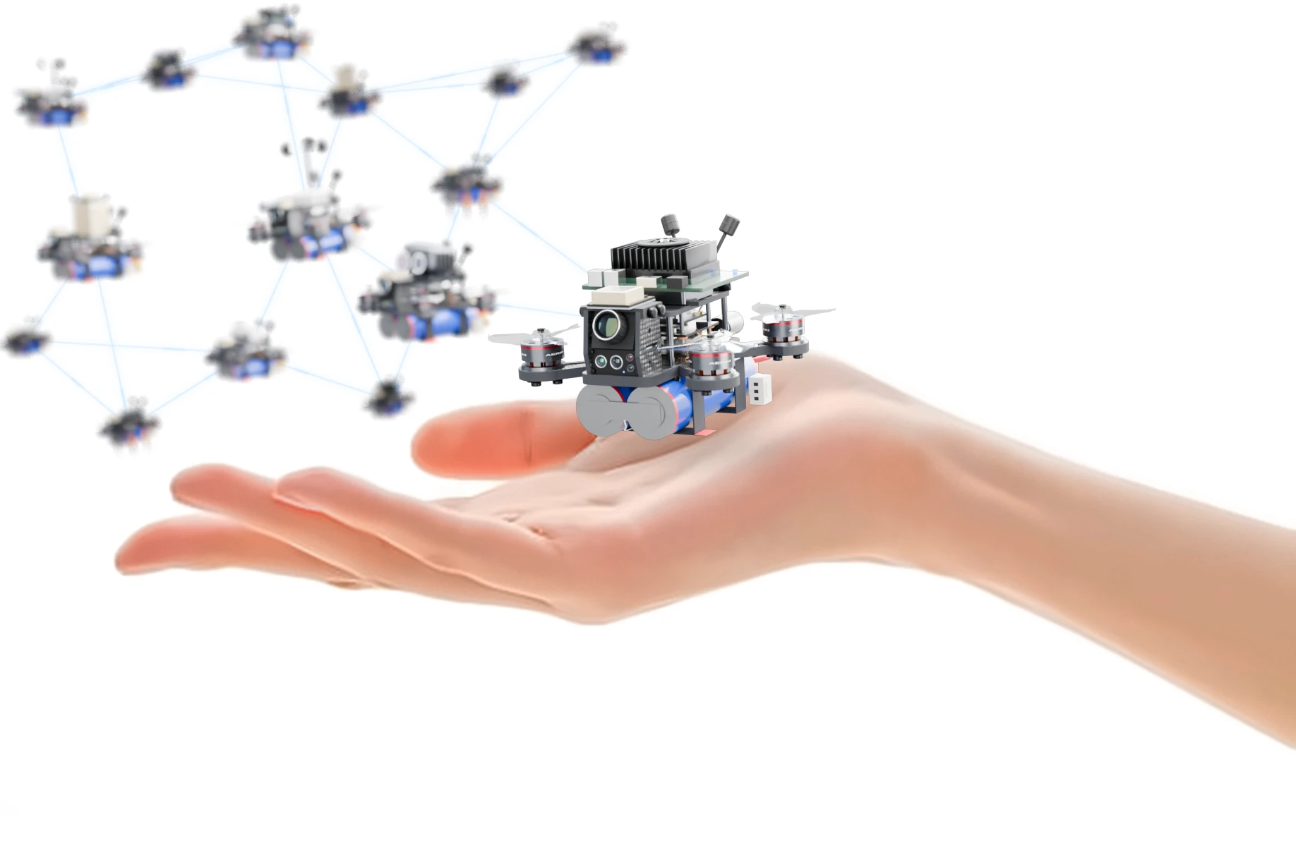
An open hand, palm up, with an AERKI compute-stack drone hovering just above it while a swarm of tiny AERKI drones flies in from the upper left
Heterogeneous micro swarms

Palm‑sized drones. Planet‑scale intelligence.

Eyes where people can't go.

AERKI sends swarms of small, smart drones over forests, coasts and unstable ground. They see under canopy, sample the air and water, and flag wildfire, pollution and landslide risk early, without waiting on a person or the cloud.

Sees through canopy Thinks on board Works as a swarm Drag to rotate
PHYSICAL AIfor the planet
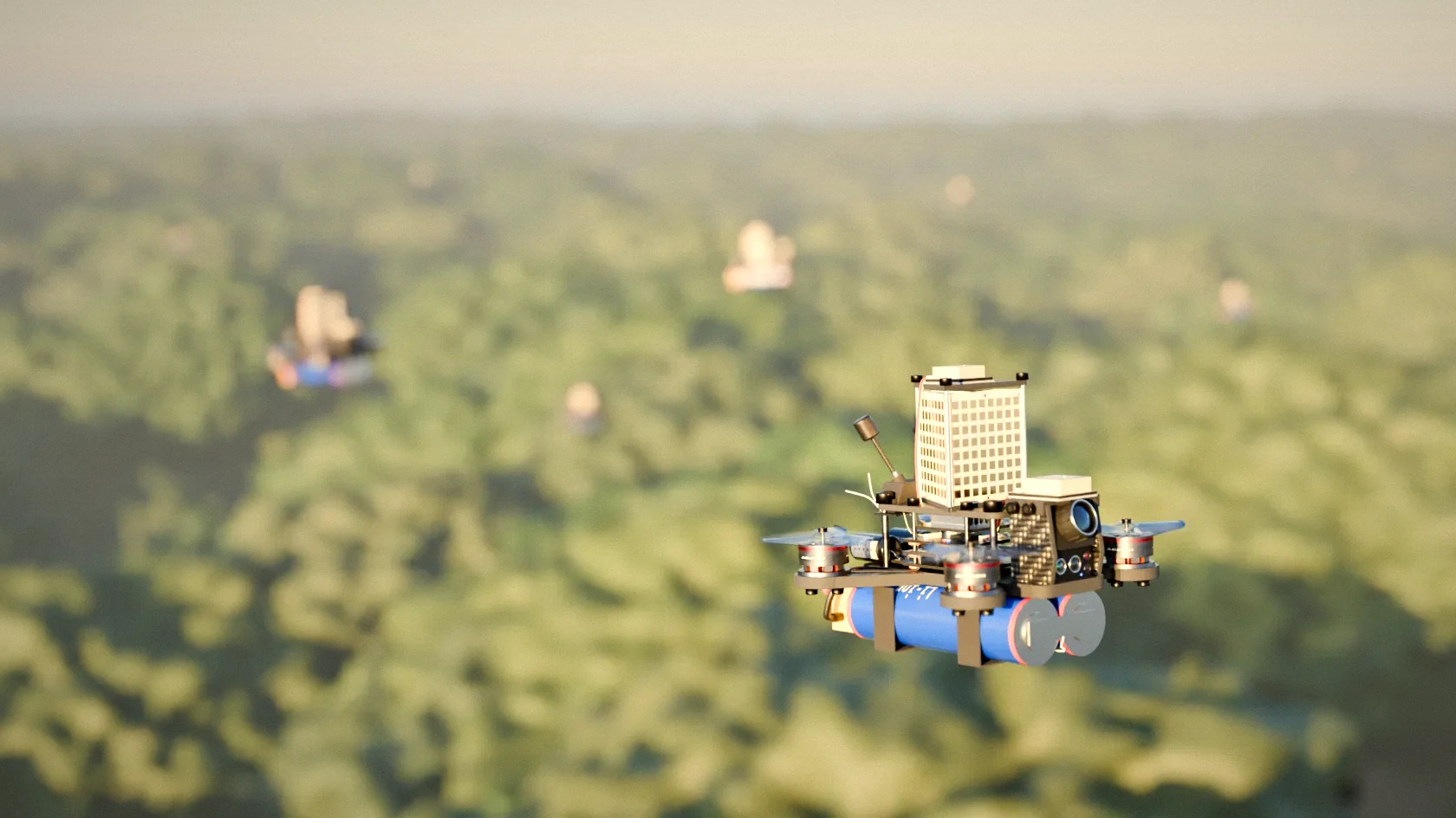
A swarm of AERKI micro drones flying low over a forest canopy at golden hour, the nearest drone in sharp focus
Forest swarm over canopy

Hazards hide where humans can't look

Field crews can't walk every hectare of forest, see beneath a closed canopy or stay on a reef around the clock. So warning signs are caught late. Fuel load and moisture loss build up under the canopy until smoke shows. Ground shifts and coastal pollution go unseen until they spread. The drones meant to extend human reach fly uniform fleets on basic grid searches, stream raw data to a distant cloud, and still need people to run every step.

Problem

Hidden hazards under canopy, in rough terrain and along coasts sit beyond human eyes and reach, so they are found only after they become visible.

AERKI

One swarm mixes radar, spectral and physical-sampling drones. Each runs its own models on board, and they hand tasks to each other over the mesh with no operator in the loop.

Physical AI, in the air.

Most AI lives in data centres and reads the world through someone else's photos. AERKI's AI flies. It senses the forest and the sea first-hand, decides on board, and acts on what it finds, all in the same few seconds.

  1. 01 · Sense

    Senses the real world

    Radar, thermal, spectral and chemical sensors give the swarm direct readings of canopy, ground, water and air, not second-hand images.

  2. 02 · Decide

    Decides on board

    Models run on each drone and on the Jetson-equipped compute drones, so the swarm can judge what matters without waiting on the cloud.

  3. 03 · Act

    Acts physically

    It changes course, drops low, lowers a sampler, plants a geophone or calls in a teammate, turning a signal into evidence on the spot.

Two swarms. Two biomes.

AERKI fields two swarm types built from the same drone family. Each mixes the sensors its environment needs, so one deployment covers mapping, prediction and on-the-spot threat analysis.

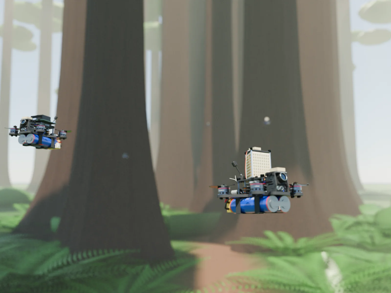
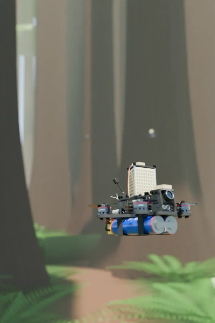
Forest SwarmsAERKI phased array and compute drones flying between tall redwood trunks in a sunlit forest
Forest Swarms

Canopy penetration and early wildfire prediction

Radar and spectral drones map beneath thick canopy to find dry fuel, moisture loss and smouldering roots before smoke appears. Gas samplers then confirm where a fire would run.

  • Hidden fuel loads and undergrowth moisture deficits
  • Root-level smouldering, day or night
  • Fire spread direction from wind vectors
PAEOHSAQSWCP
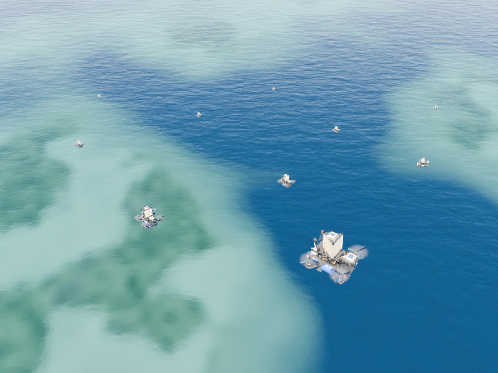
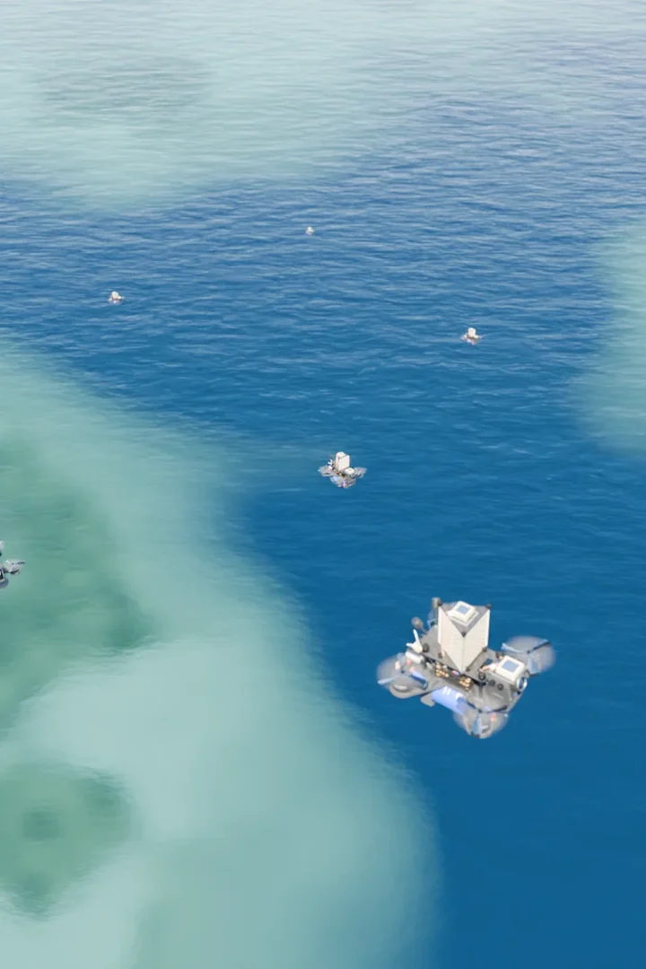
Nautical SwarmsA swarm of AERKI drones flying low over clear turquoise water and coral reef
Nautical Swarms

Marine ecosystem tracking and coastal disaster prevention

Radar drones keep flying through fog and storms while spectral and sampling drones track water quality, shoreline change and shifts in the coastal shelf.

  • Surface profiling through fog, smoke and storm cloud
  • Toxic runoff, fuel leaks and pollutant screening
  • Coastal shelf movement and early landslide signs
XRHSSWSEAQCP

A heterogeneous swarm

Most fleets fly identical drones. An AERKI swarm combines specialised variants that split sensing, sampling and tracking between them in real time, and overlap their data into one diagnostic picture.

Peer-to-peer meshAERKI decentralized mesh
Phased array radar drone
ARadar
EO/IR optical drone
BOptical
Atmospheric gas sampling drone
CSampling
Edge compute drone with NVIDIA Jetson Orin Nano Super
DCompute
Category A

Penetration & active radar

See through obstructions with no moving parts, and build fast structural maps.

PA

Phased array

Mechanism
Electronic beam steering, using microsecond phase shifts across static antenna arrays.
Application
Sees through dense canopy to map hidden fuel loads and undergrowth moisture deficits before smoke appears.
XR

X-band radar

Mechanism
High-frequency active radar pulses at 8–12 GHz, tuned for high-resolution structure.
Application
Profiles terrain and surfaces continuously through heavy smoke, dense fog, storm cloud and severe weather.
Category B

Optical & spectral imaging

Watch thermal signatures and surface chemistry across wide areas.

EO

EO/IR multispectral

Mechanism
Fuses visible-light and high-definition thermal feeds at the same time.
Application
Finds deep-seated hotspots and tracks root-level smouldering and small temperature shifts, day or night.
HS

Hyperspectral

Mechanism
Captures hundreds of narrow, contiguous spectral bands.
Application
Measures ecosystem health: chlorophyll loss, invasive plants and early vegetation stress.
Category C

Sampling & atmospheric gas

Touch down or fly low to test soil, water, ground and air directly.

SW

Soil & water sampler

Mechanism
Low-impact winches and core-dropper extraction.
Application
Pulls water and soil samples from remote lakes, rivers and forest patches to screen for runoff, pollutants and chemical imbalance.
SE

Seismic sampler

Mechanism
Deployable micro-geophone stakes and acoustic surface transducers.
Application
Tracks ground tremor baselines, coastal shelf shifts and early micro-seismic signs of mudslides or volcanic activity.
AQ

Wind / AQI gas sampler

Mechanism
Active-draw micro-sniffers and electrochemical air-quality sensor chambers.
Application
Sweeps low airways to map wind speed, greenhouse gas spikes and particulates down to parts per billion.
Category D

Edge compute

The swarm's on-board brain: fuses every drone's data and plans the next move.

Category D · Edge compute
CP

Compute payload drone

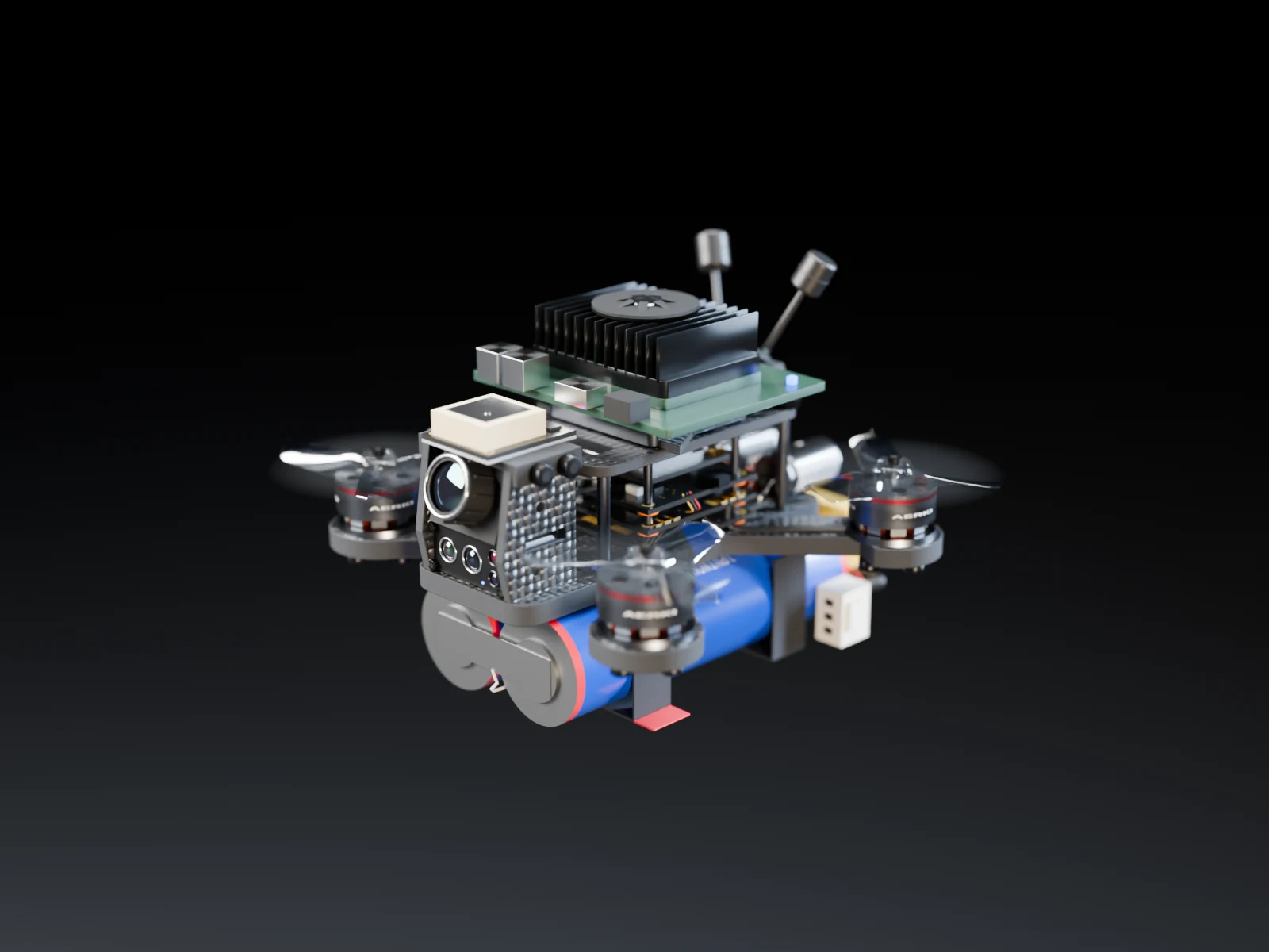
NVIDIA Jetson Orin Nano Super · up to 67 TOPS
Mechanism
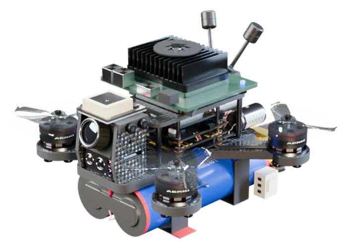
An NVIDIA Jetson Orin Nano Super module on a lightweight carrier board, with a finned heatsink and fan, flying as a node in the mesh.
Application
Runs the swarm's heavier AI on the spot: fuses data from radar, spectral and sampling drones, confirms anomalies and re-plans tasks, so nothing waits on the cloud.

Many drones. One picture.

Tap the map to place an anomaly. The right drone detects it, then cues the specialists it needs over the mesh. Remove a drone to watch the rest re-route.

Tap to place an anomaly
Drones0
Links0
Tasks0
PAXREOHSSWSEAQCP
Mesh event log (simulated)

    How the payloads work together

    The value is in the hand-offs. When one drone spots an anomaly, the swarm re-routes the others to collect exactly the data needed to confirm it.

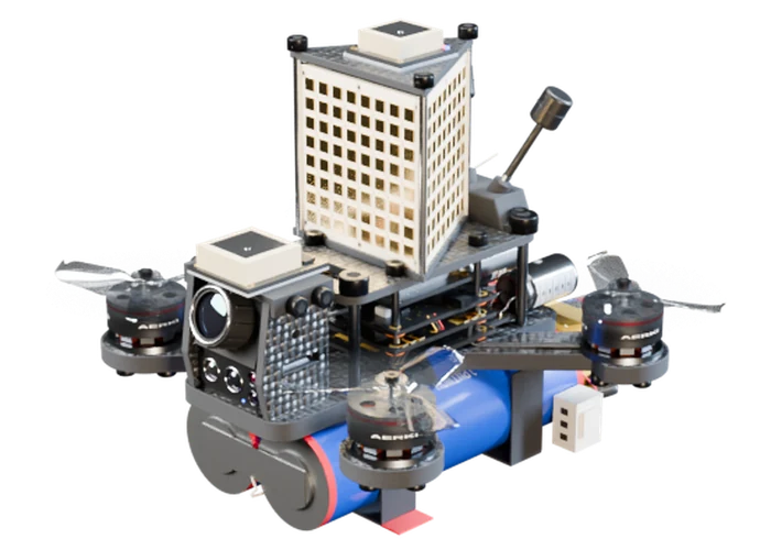
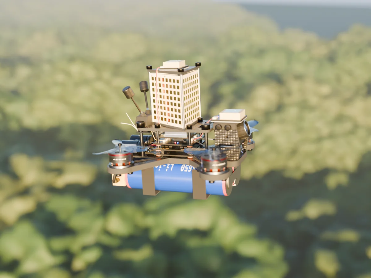
    Render of the AERKI Phased array drone: three 8×8 arrays on the stack, flying over forest canopy.
    PAPhased arrayThree 8×8 arrays on the stack, flying in the forest swarm.
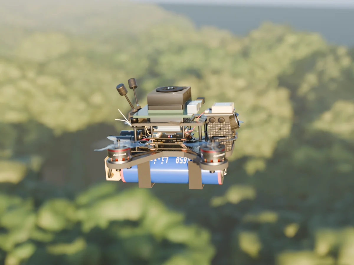
    Render of the AERKI compute payload drone: an NVIDIA Jetson Orin Nano Super module with finned heatsink and fan on a carrier board
    CPCompute payloadNVIDIA Jetson Orin Nano SuperEdge AI module with a finned heatsink and fan. Fuses the swarm's data and plans the next tasks in flight.
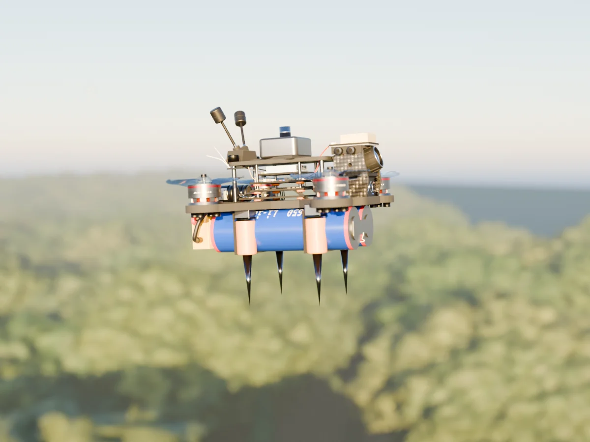
    Render of the AERKI Seismic sampler drone: Four geophone stakes under the arms, ready to plant on landing.
    SESeismic samplerFour geophone stakes under the arms, ready to plant on landing.
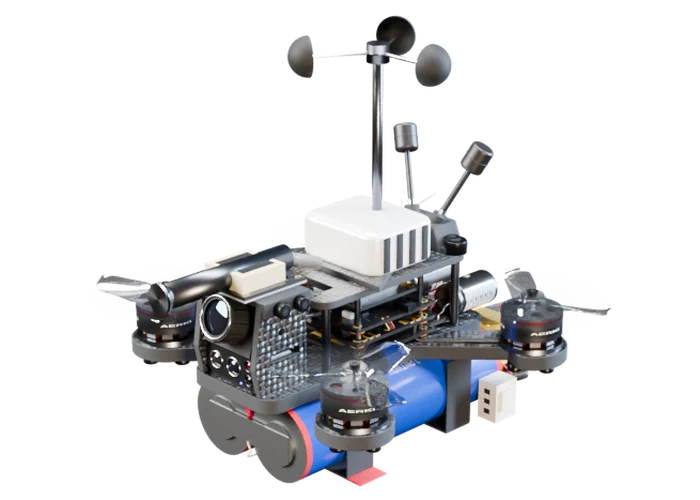
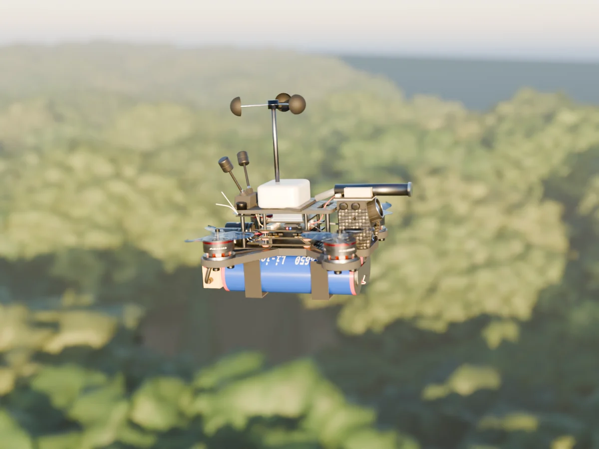
    Render of the AERKI Wind / AQI gas sampler drone: Cup anemometer mast, forward sniffer intake and a vented gas chamber.
    AQWind / AQI gas samplerCup anemometer mast, forward sniffer intake and a vented gas chamber.
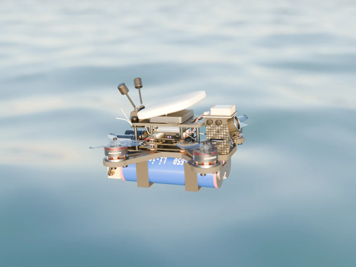
    Render of the AERKI X-band radar drone: Flat forward-tilted radome for 8–12 GHz surface profiling, over open water.
    XRX-band radarFlat forward-tilted radome for 8–12 GHz surface profiling, over open water.
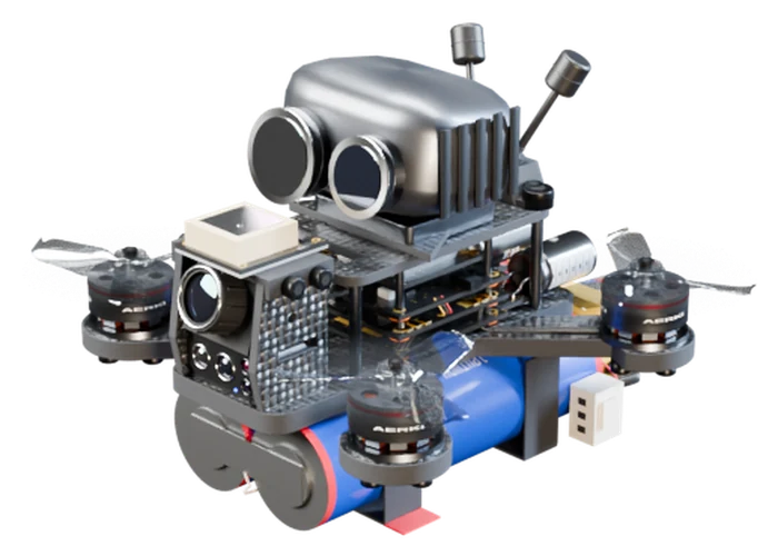
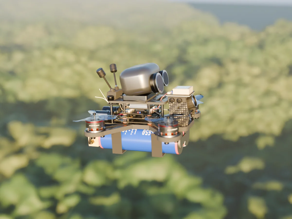
    Render of the AERKI EO/IR multispectral drone: Twin pod with a germanium thermal lens and an AR-coated visible lens.
    EOEO/IR multispectralTwin pod with a germanium thermal lens and an AR-coated visible lens.
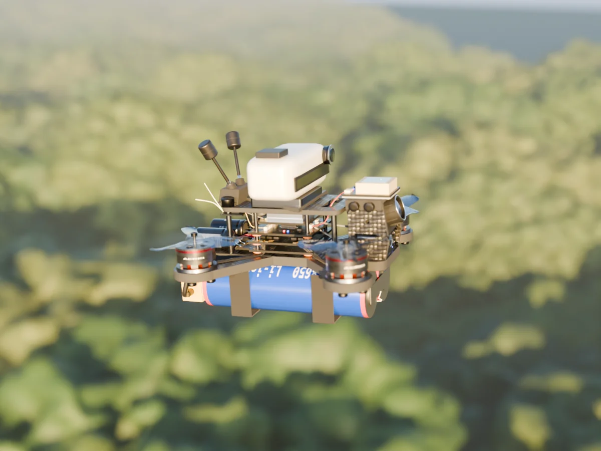
    Render of the AERKI Hyperspectral drone: Push-broom imager with a long slit aperture, scanning the canopy below.
    HSHyperspectralPush-broom imager with a long slit aperture, scanning the canopy below.
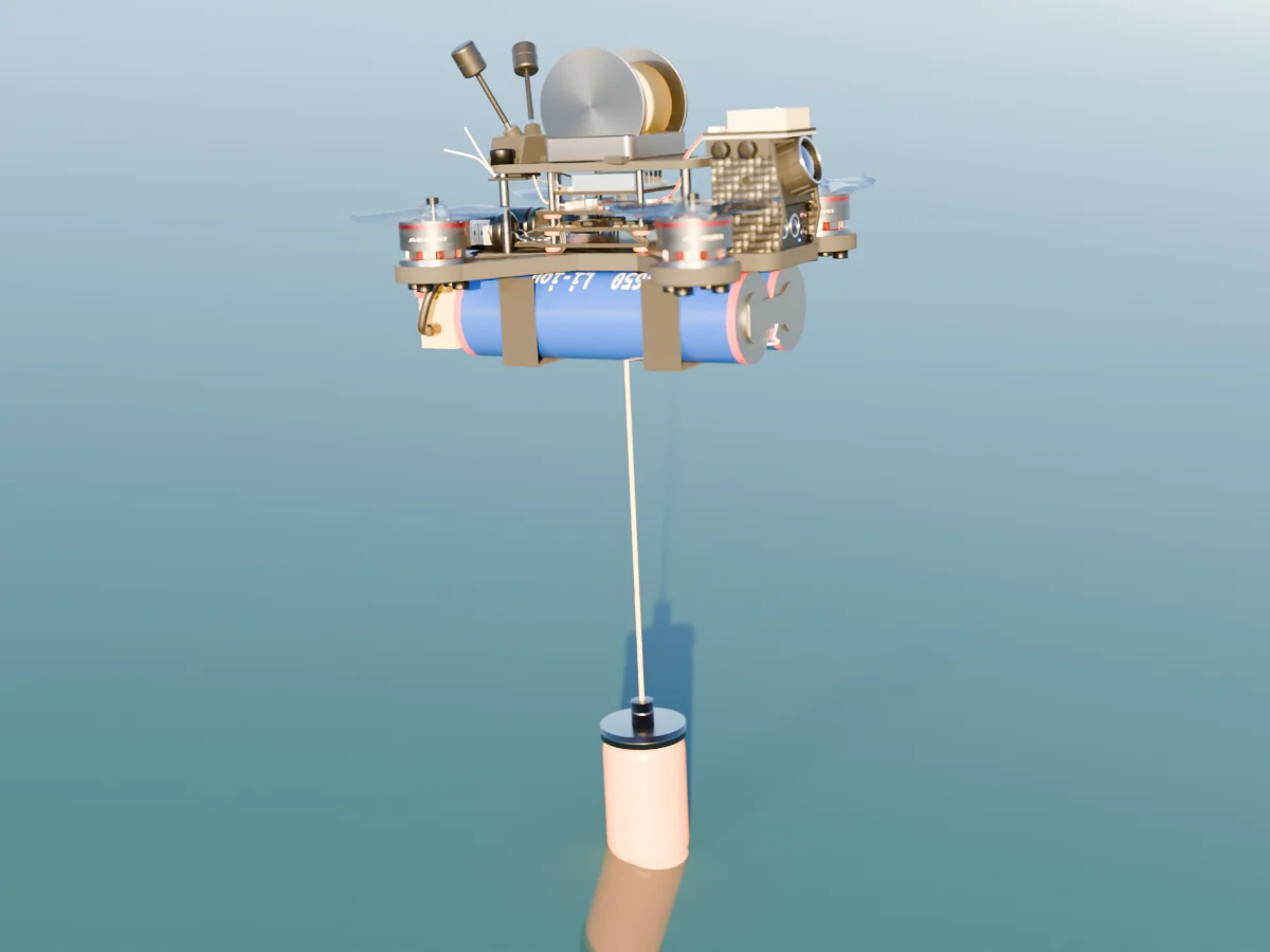
    Render of the AERKI Soil and water sampler drone: Winch-lowered sampling capsule dipping toward the surface.
    SWSoil & water samplerWinch-lowered sampling capsule dipping toward the surface.
    Payload dronePrimary data outputCore environmental metricRole in the swarm
    PAPhased array3D structural point cloudsUndergrowth biomass densityFlags structural anomalies and cues spectral scans.
    CPCompute (Jetson Orin Nano Super)Fused detections and task plansAnomaly confidence, swarm-wideFuses every payload's data on board and assigns the next task in real time.
    SESeismic samplerAcoustic waveforms (Hz)Micro-seismic shift velocityMaps high-risk zones for landslides.
    AQWind / AQI gasGas profiles (ppm / ppb)PM2.5 / PM10 particulatesWorks out fire spread direction from wind vectors.
    XRX-band radarHigh-resolution topographic mapsGround surface displacementKeeps navigation and tracking going in zero-visibility storms.
    EOEO/IR multispectralRadiant heat mapsRelative thermal signaturesTriggers immediate low-altitude gas and physical sampling.
    HSHyperspectralChemical spectral signaturesFoliage stress and moisturePredicts wide disaster zones by finding dry fuel grids.
    SWSoil / water samplerChemical compositionpH, heavy metals, fuel leakageConfirms suspected ground-level pollution clusters.

    Decisions at the edge, not in the cloud

    AERKI avoids the delay of remote cloud processing. The swarm thinks for itself, and keeps working when drones are lost.

    Studio render of the AERKI compute payload drone with an NVIDIA Jetson Orin Nano Super module and finned heatsink on top
    CP67 TOPS of Compute payload · NVIDIA Jetson Orin Nano Super
    On-device edge computing

    Models on every drone

    Each drone runs light machine-learning models on its own edge hardware, instead of streaming gigabytes of raw sensor data back to a base station. Dedicated compute drones carry an NVIDIA Jetson Orin Nano Super for the heavier fusion and planning work.

    Consensus mesh networking

    Drones task each other

    The swarm trades compressed metadata peer to peer. If an EO/IR drone sees a sudden thermal spike, it asks a nearby Wind/AQI drone to fly over and take a gas profile, with no operator involved.

    Autonomous fail-safes

    No single point of failure

    Processing and routing are fully decentralized. If drones are lost to dense canopy or harsh coastal weather, the rest close the gaps and keep full coverage of the area.

    Hardware · phased array drone

    Three arrays. 360°. No moving parts.

    Each drone carries three vertical 8×8 patch arrays set 120° apart, so together they see all the way round. A four-lens EO stack sits flush in the nose: a thermal microbolometer, an AR-coated zoom lens, and two multispectral bands (red-edge and near-infrared). The whole drone, props included, fits inside 100 × 100 mm (96 × 91 mm) and runs on a 2S 18650 pack mounted under the frame.

    One array board · exactly 8 × 8 patches
    Patch element ×64Microstrip feedStub filterSubstrate

    Steer the beam. Nothing moves.

    Drag the slider. Each antenna element fires with a small timing offset, and the combined wavefront tilts toward the target. Retargeting happens in microseconds, entirely in electronics.

    Steer angle0°
    Phase step0°
    Δφ = 2π · d · sin θ / λ  ·  d = λ/2, N = 8

    Simulation for illustration. Element spacing and count are chosen to show the principle, not AERKI hardware values.

    What the arrays see

    Four capabilities that come from putting phased array sensors on autonomous swarms.

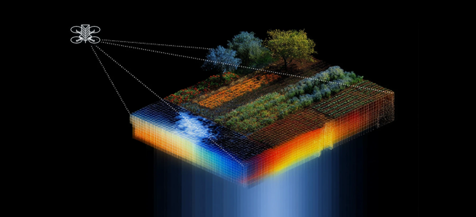
    A phased array drone, drawn in white outline, scanning a cross-section of terrain that reveals soil layers, water and vegetation beneath the surface

    Dynamic forest penetration

    The arrays see through thick forest canopy electronically, mapping dense undergrowth to find hidden fire hazards, fuel load build-up and moisture deficits before visible smoke appears.

    Electronic beam steering

    Phase shifts across the antenna elements point the sensor's focus in microseconds. No rotating parts means better power efficiency and a tougher drone.

    Decentralized multi-target tracking

    Inside the swarm, sensors cross-reference data in real time. One drone can sweep wide terrain angles while tracking several geological or coastal anomalies, with no tracking blind spots.

    High-sensitivity imaging

    Spatial filtering in the array isolates weak target returns from heavy background noise such as moving leaves, heavy rain or crashing waves, for high-accuracy disaster forecasting.

    Use cases

    One swarm. Every frontier.

    The same drone family, re-tasked for each terrain. Pick a sector to see what AERKI watches for there.

    Dense redwood forest with AERKI drones flying between the trunks 01 / 07

    Forestry

    Wildfire starts under the canopy.

    • Hidden fuel-load mapping
    • Root-level smoulder detection
    • Fire spread prediction
    • Canopy health and biomass
    Payloads · PA · HS · AQ

    Why now

    The pieces needed to put radar on a micro drone have only recently come together.

    Arrays on a PCB

    Phased array front ends now fit on small, flat boards instead of large rotating assemblies.

    Edge AI hardware

    Small, low-power modules such as NVIDIA's Jetson Orin Nano Super can now run useful machine-learning models on board, so each drone makes decisions without a link to the cloud.

    Mesh networking

    Mesh RF and EO links let a swarm share data in real time without a central node.

    Spectral imaging

    Hyperspectral and multispectral cameras now fit on a micro drone, so a swarm can read plant stress, water quality and soil from ultraviolet to infrared, far beyond what the eye can see.

    Pilots · Partnerships · Investors

    Put a swarm over your terrain

    Tell us the ground you need to watch and what you are trying to catch early. We will walk you through how AERKI's sensing stack would cover it.

    Write to hello@aerki.com
    Open email GitHub